Mount Discovery (Rare Earths)
Property Description
The 11,000-hectare property is situated in southwestern Quebec near the town of Fort-Coulonge and near infrastructure consisting of both paved and gravel roads and powerlines. The area benefits from a local workforce, hydroelectric dam, and various industries.
The Corporation owns the property, and some claims are subject to a 2.5% NSR royalty. The Corporation has a right to purchase one-half (1.25%) of the NSR for $1,000,000. 1% of the NSR is held by the President, CEO and a director of the Corporation and 0.5% of the NSR is held by a company which is a shareholder of the Corporation and a director of the Corporation is an officer of this company. In addition, the Corporation acquired claims through map staking in 2023 and 2024.
Exploration work on the property
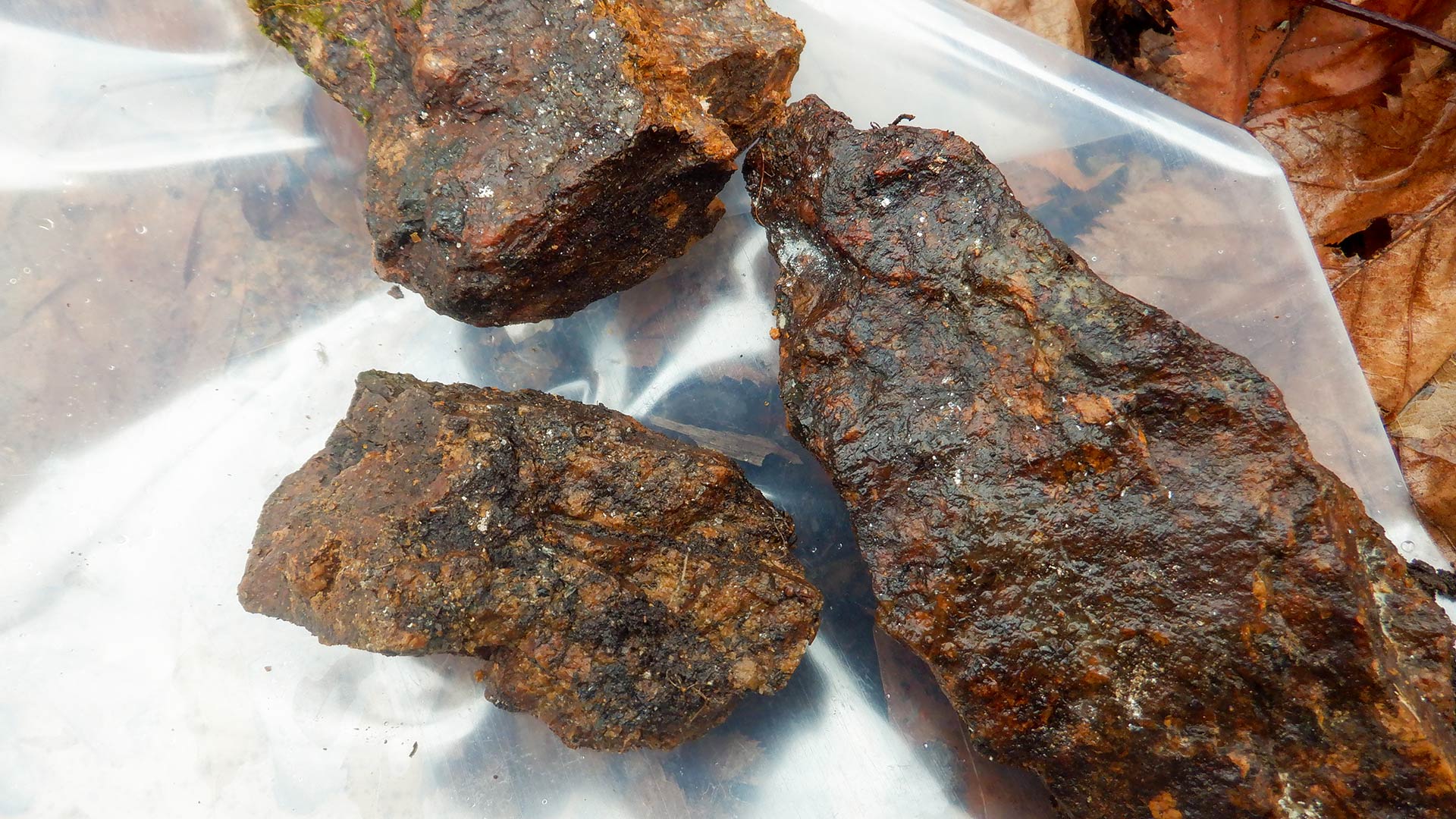
In May 2024, sixteen (16) diamond drill holes, totaling 2,181 metres, were completed on the property, targeting six distinct areas where mineralization had been discovered at surface. Fifteen (15) drill holes intersected various widths of mineralization, including one that intersected 7,000 ppm TREO over 11 metres, from 10 metres to 21 metres, including a section of 42,100 ppm TREO over 1.8 metres. The hole was anomalous over nearly its entire length, having assayed 800 ppm TREO over 124 metres. Results of the program indicate the presence of both wide anomalous zones and higher-grade intersections over an area of 600 metres by 200 metres. The reported intersects may not represent true width of mineralization.
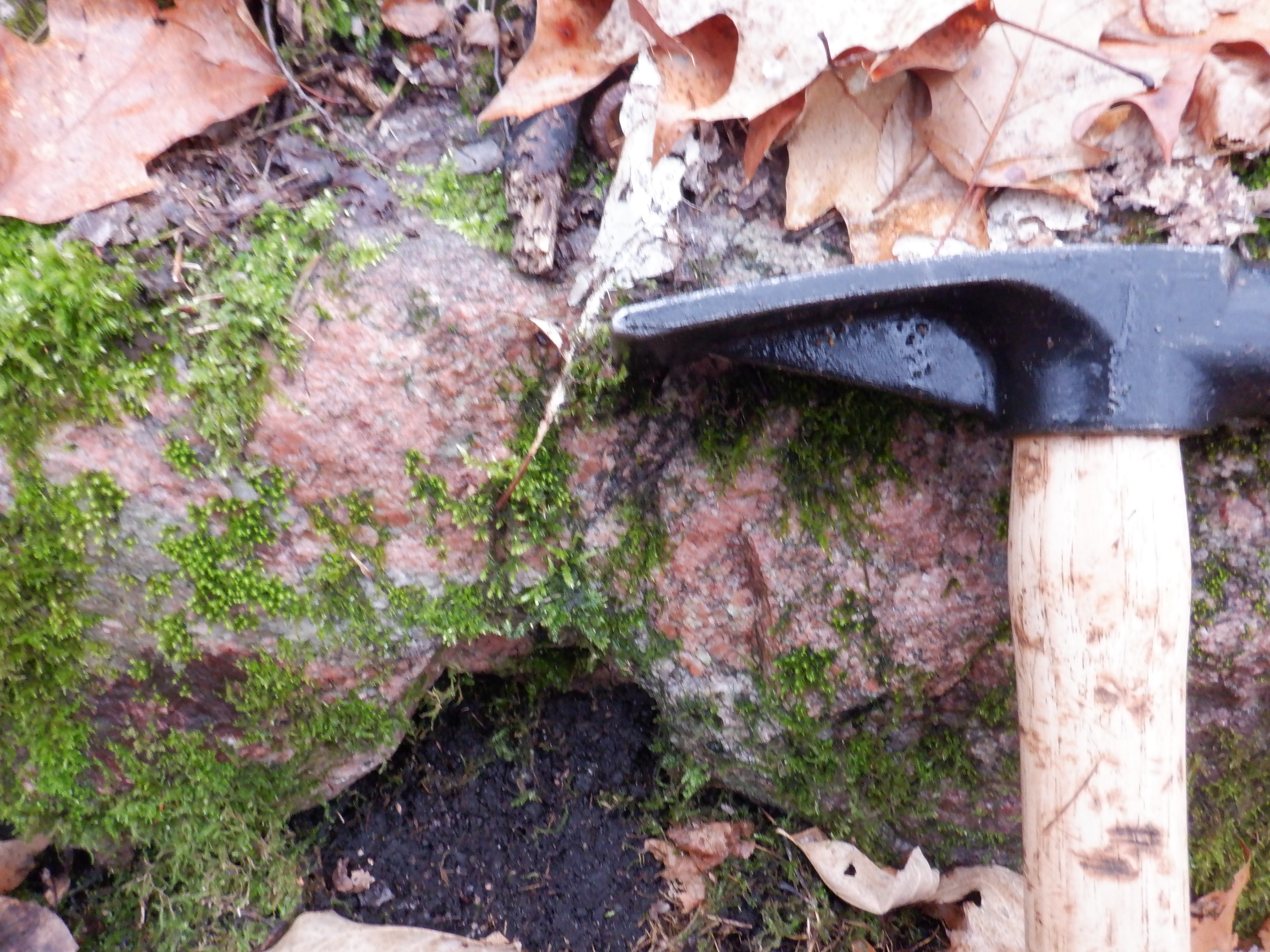
Further work was undertaken in May 2025 which focused primarily on the central area where suspected carbonatite containing REE were identified in 2023. Assaying of new grab samples didn’t provide any noteworthy results. Future work will include mineralogy work on the main REE occurrences and exploration will be expanded onto claims not yet investigated.
This property is the subject of a National Instrument 43-101 technical report dated November 6, 2023.