The Mount Discovery Rare Earths Project
High-grade critical rare earths at surface
MINERALS OF INTEREST:
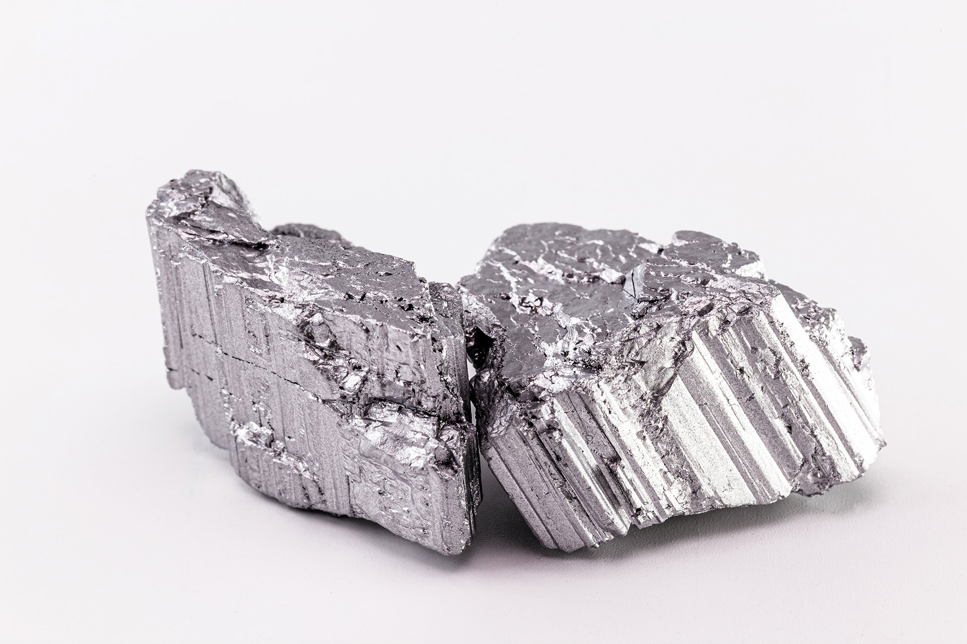
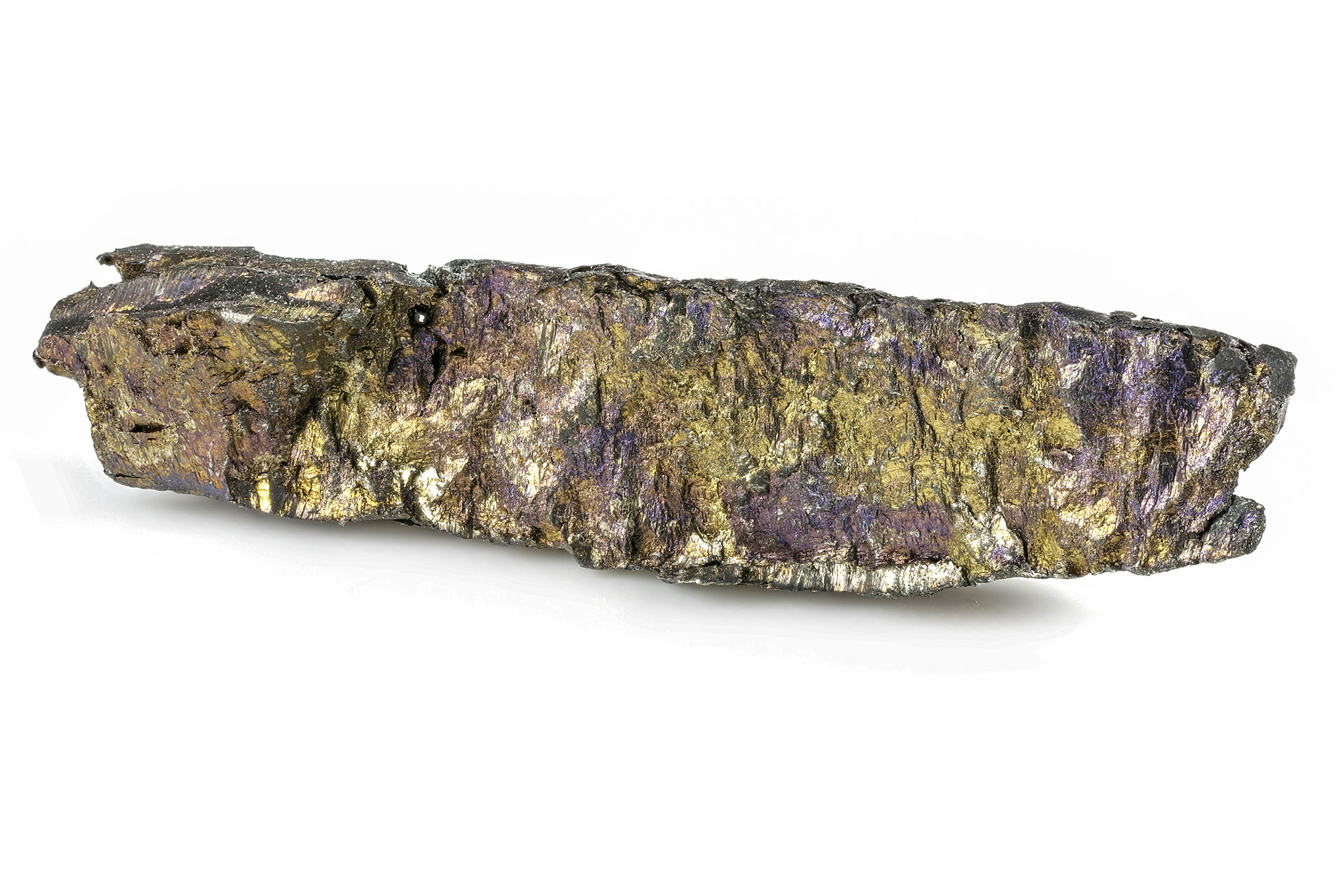
Rare Earth Elements
LOCATION:
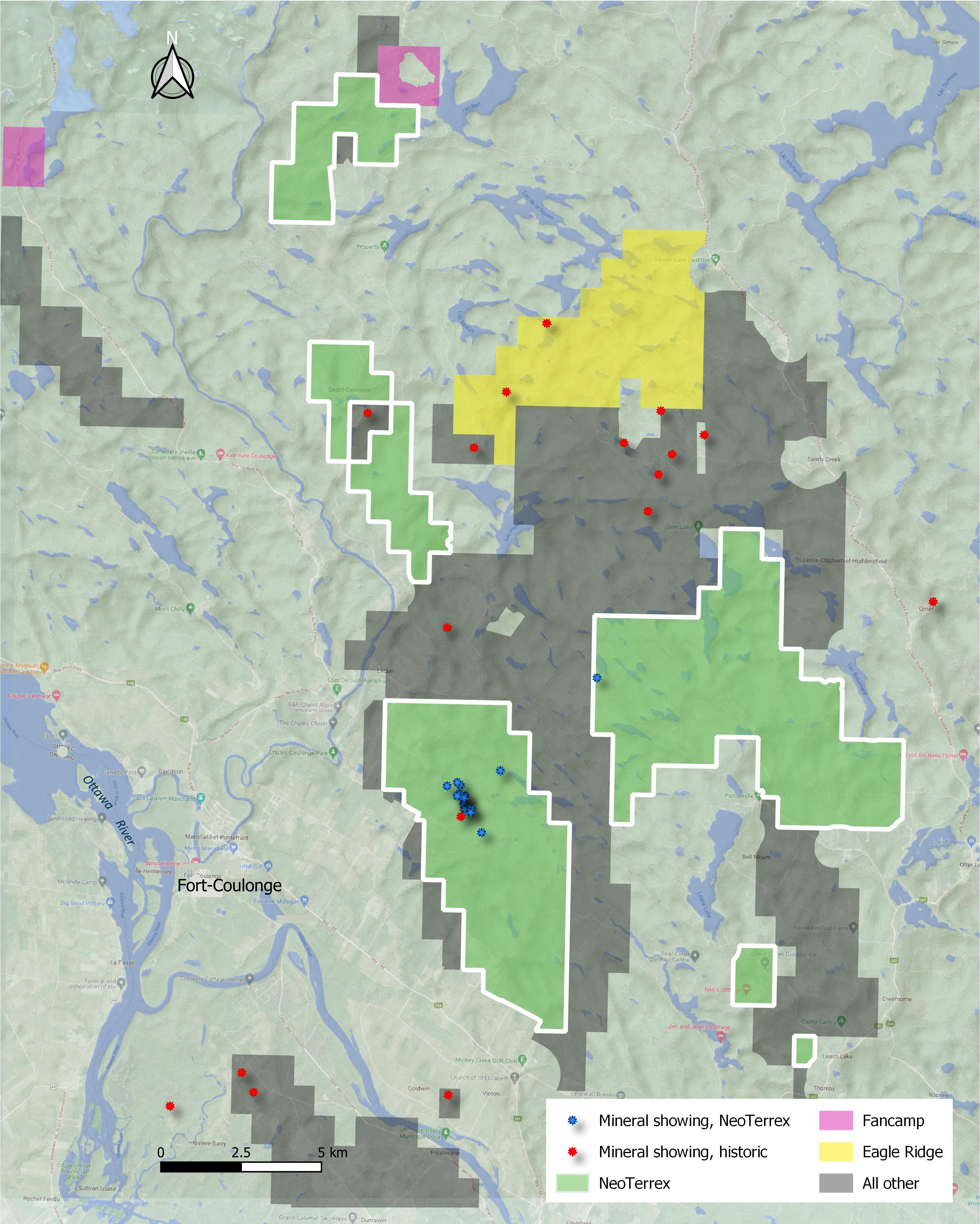
Southern Quebec, Outaouais Region
SIZE:
~11,000 Hectares
STATUS:
Active Grassroots Exploration
OVERVIEW
- Rare earths mineralization with infrastructure. Highway and electricity within 3 kilometres
- 24 new rare earth element (“REE”) occurrences discovered since 2021
- High concentration of occurrences within an area measuring 900m x 300m
- Among the highest Neodymium values in grab samples recorded in the province’s database
- Light REE form the majority of the mineralization, with predominate values of Nd, Pr, La and Ce
- Limited exploration to date, potential to extend mineralization laterally and at depth
INTRODUCTION
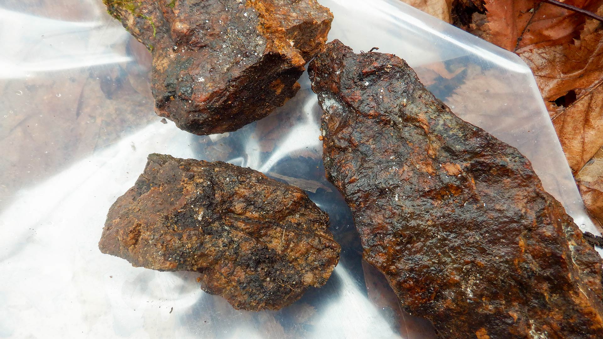
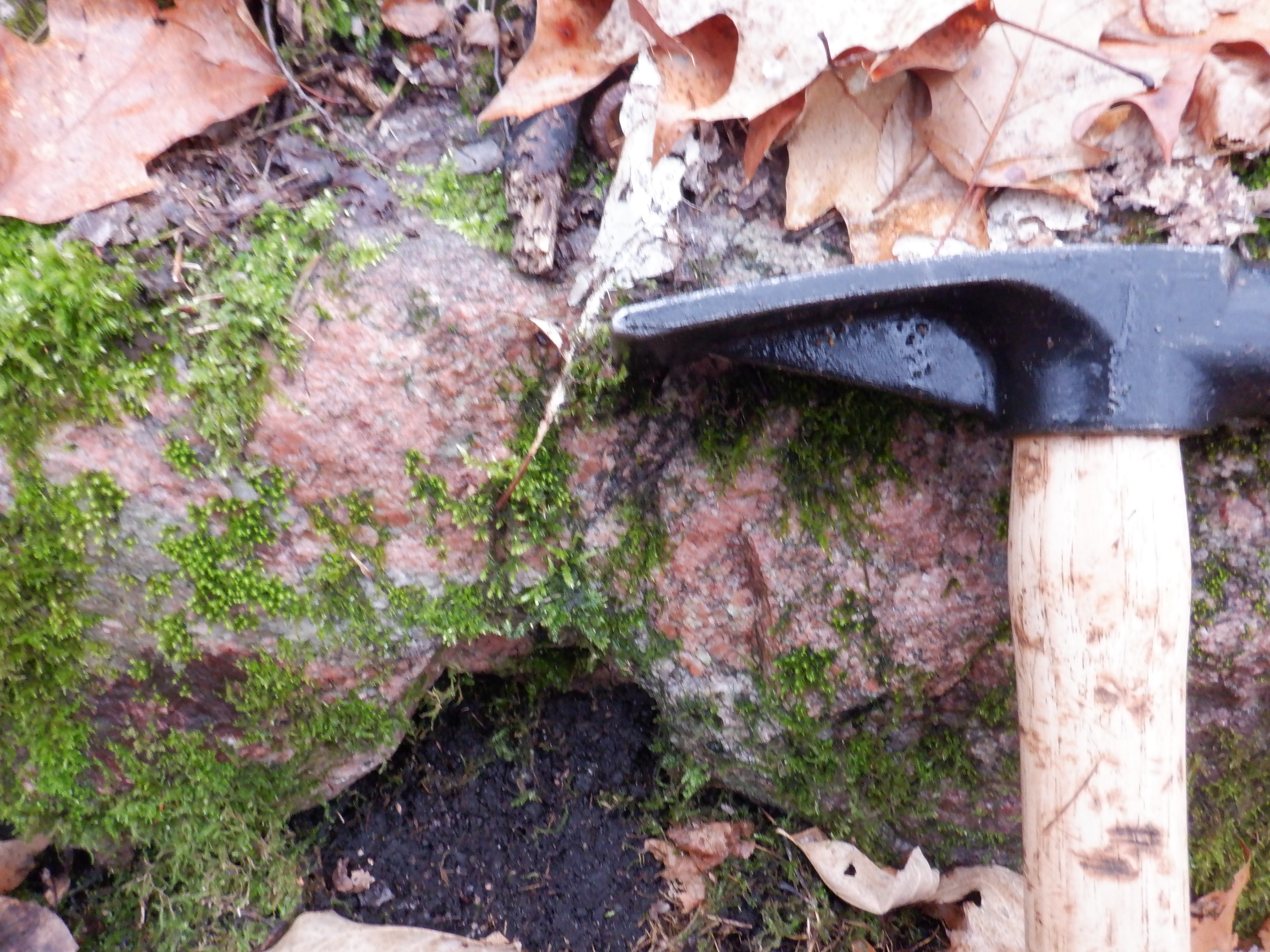
The Mount Discovery property was originally acquired in 2021 for its rare earths potential and has since been the focus of most work for the company since. To date, 24 rare earths occurrences (neodymium and praseodymium) have been discovered. Excavation work on some of these showings has established that mineralization has size potential. In the fall of 2022, channel sampling results from King returned 27 metres of 3.20% total rare earth oxides (TREO).
LOCATION AND INFRASTRUCTURE
Situated in Southwestern Quebec near the town of Fort-Coulonge, the property is ideally located near excellent infrastructure consisting of both paved and gravel roads and powerlines. The area benefits from a local workforce, hydroelectric dam, and various industries.
GEOLOGY
The property is located in the south-central part of the Grenville Province, which is composed of multiple terranes or large crustal blocks. These terranes, or fault bounded crustal blocks, are exposed over a 300- to 500-kilometre-wide belt which extends from Southwestern Ontario to Labrador and divide the Grenville into the Autochthonous, Parautochthonous and Allochthonous Tectonic Belts.
The Autochthonous belt consists of Archean rocks of the adjacent Superior and Rae Provinces and Paleoproterozoic rocks of the Labrador Trough that were undisplaced and undeformed by the Grenville Orogeny. The Parautochthonous belt is a transitional buffer zone between the undeformed Autochthonous and the deformed and transported Allochtonous belt.
Also, the property is located along the northern portion of the Ottawa-Bonnechere Graben which extends in a northwest direction in this area. The northern boundary is called the Mattawa Fault and the southern boundary is called the Petawawa Fault. These faults are traced west of Lake Nipissing towards Sudbury, where the faults appear to die out. To the east, the boundary faults are traced past the City of Ottawa towards the City of Montreal, where the faults appear to link up with the St. Lawrence rift zone.
To the north of the Mattawa Fault stands the rugged Laurentian Mountains of Quebec, the remains of an ancient mountain chain. To the south of the Petawawa Fault stands the rugged Opeongo Mountains of Ontario, which are also the remains of an old mountain range. The property is in the central portion of the rift in terms of length, but also right on its northeast margin, on the Quebec side, along the major Mattawa fault. This Mattawa fault system is clearly visible on the property with the presence of a major cliff which continues along the entire Ottawa Valley.
No detailed geological mapping has been done on the property, but government surveys have identified several lithologies in the area. These include marbles, calco-silicate rocks, metagabbros, carbonatites, amphibolites, granites and banded pegmatites, paragneiss and diabases.
EXPLORATION HISTORY
The Mount Discovery property and surrounding area has been the focus of sporadic exploration work since the mid-1930s. The first work, which was undertaken by the Government of Quebec, focused more on the geological and structural reconnaissance of the greater Pontiac region.
As early as the 1950s, a few occurrences of iron and titanium – containing magnetite were identified in the area followed by uranium.
From the 1970s to the late 1990s, some regional studies, such as reconnaissance mapping and Landsat image observations, carried out by the Quebec and Canadian governments permit to re-interpret and update the geological and structural characteristics of the greater Grenville Province and thus re-evaluate the mineral potential to better identify favourable zones for exploration and the discovery of industrial minerals and critical and strategic minerals. In the mid-1990s, a prospecting and sampling program was undertaken in the vicinity of the property to assess the potential for industrial minerals targeting rutile (considering the market value at the time), but no economic value was obtained.
In the mid-2000s, prospecting work was also undertaken on the current site of the property in Litchfield Township. The substances that were sought were gold, silver, copper, zinc, nickel, platinum and palladium. Old trenches and pit rocks were sampled for multi-elements but no significant results were obtained. However, trace element of sulphides revealed traces of gold and copper. A few samples were assayed for rare earths, returning significant values at what is now known as the King showing. No follow-up work was undertaken until NeoTerrex reconfirmed the discovery in 2021.
NEOTERREX WORK
From November 2021 to July 2023, NeoTerrex mainly carried out exploration work on the west claim block in Litchfield Township consisting of magnetic and spectrometric surveys, prospection, reconnaissance mapping, stripping and trenching. As of July 2024, a total of 24 REE occurrences (>1% TREO) had been located on the property and eight different sites have been excavated, with at least two (King and Sicilian) demonstrating mineralization continuity over several metres.
In the spring of 20204, sixteen (16) diamond drill holes (DDH) totalling 2,181 metres were completed on the project, targeting six distinct areas where mineralization had been discovered at surface. 12 of 16 holes encountered mineralization, often within a large anomalous interval.
Holes MD-24-03 to MD-24-07, and hole MD-24-16 targeted the King showing area. All holes except for MD-24-05 intersected various widths of mineralization with MD-24-03 being the best hole with 7,000 ppm (parts per million) Total Rare Earth Oxides (TREO) over 11 metres* from 10 metres to 21 metres, including a section of 42,100 ppm TREO over 1.8 metres*. The hole was anomalous over nearly its entire length, having returned 800 ppm TREO over 124 metres*. Values for the other drill holes at King are displayed further below in table 1. All other locations except for the Blitz target returned anomalous TREO mineralization of various grades and widths. These are also detailed below in table 1. Results of the program indicate the presence of both wide anomalous zones and higher-grade intersections over an area of 600 metres x 200 metres (see adjoined map). For a first drill program, this is significant as it indicates the potential for a large mineralized underlying system, warranting further drilling both laterally and at depth.
High-grade critical rare earths at surface
Among the highest Neodymium values in entire province of Quebec (Grab samples of over 7000 ppm)